Puyallup Aerials LLC
Professional Drone Mapping & Photogrammetry Services
About Puyallup Aerials LLC
Puyallup Aerials LLC specializes in mapping-dedicated drone services using advanced photogrammetry technology. With a background as a Survey Party Chief with over 4 years of professional surveying experience, our FAA-certified pilot, Jesse, brings industry expertise and precision to every project. Our mission is to provide the most accurate and efficient aerial data solutions that will streamline your project and deliver actionable data.
We serve everyone from construction/excavation companies, to real estate professionals, to private land owners and development planners throughout the PNW region. Our photogrammetry-based approach captures detailed aerial imagery that is processed into precise orthophotos, Digital Elevation Models, contour maps, and point clouds. Every job will include an accuracy validation report, using independently surveyed ground check points.
Our Services
Orthophotos
High-precision aerial mapping using photogrammetry. Delivered product will be Geo-referenced and viewable in Google Earth. File types include .pdf, GeoTIFF, JPEG. Horizontal accuracy will be clearly stated in the checkshot report.
DEM (Digital Elevation Models)
Geo-referenced surface model of the site that represents ground elevations across the property. Useful for slope analysis, drainage evaluation, and surface measurements. Best suited for lightly vegetated sites with plenty of visible ground. Vertical accuracy will be clearly stated in the checkshot report.
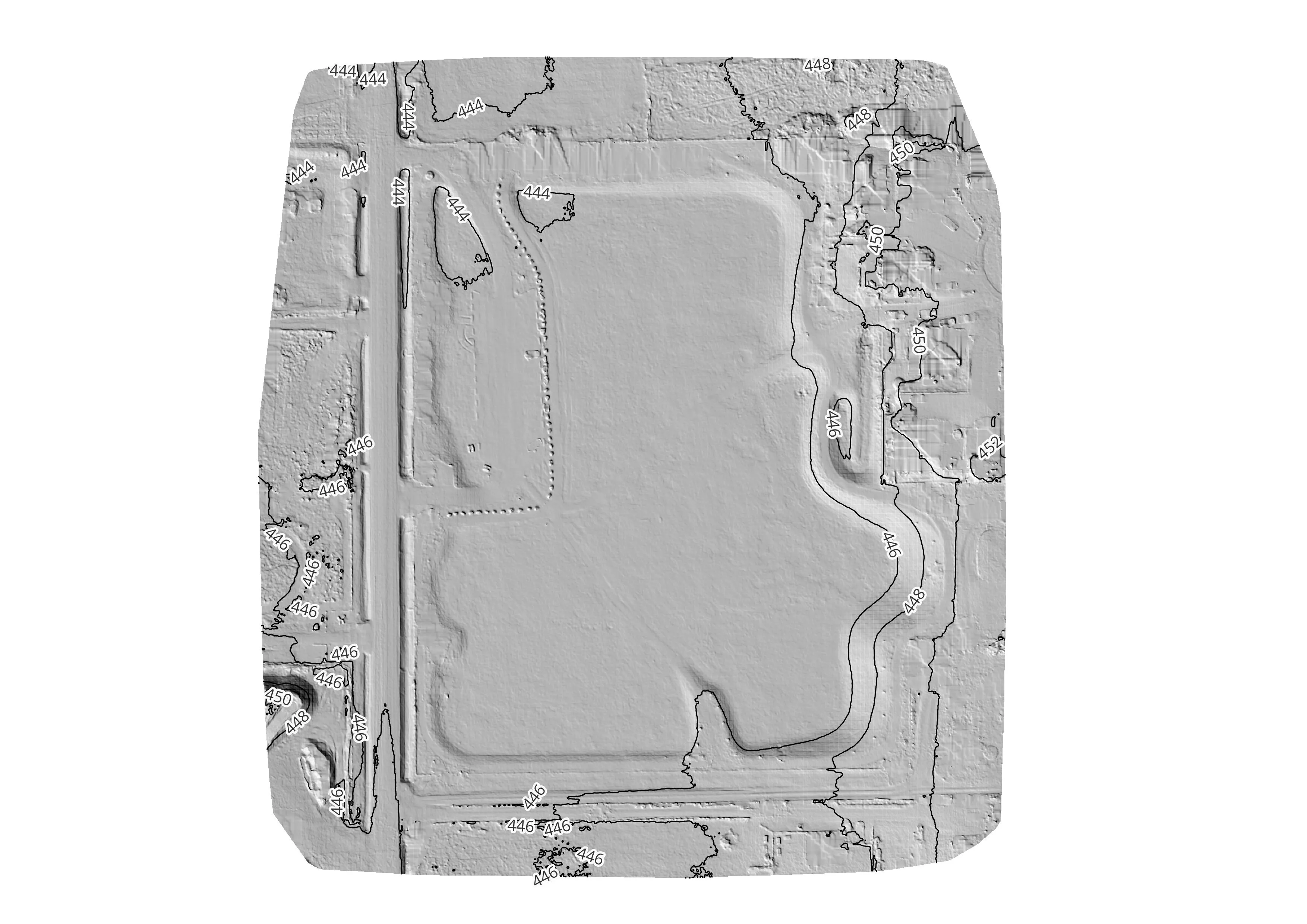
Contour Analysis
1' or 2' contour maps, which provide a clear visual understanding of slopes, high and low areas, and overall terrain shape. Delivered in CAD-ready format for use in planning, earthwork estimation, and site layout. Vertical accuracy will be clearly stated in the checkshot report.